- Posts: 34
- Thank you received: 0
spring avy forecast from nwac
- ATnicholls
-

- User
-

...For what it's worth, the weather summary is talking about cloud tops between 6K and 9K. Go high! (and be careful)
Lowell, it seems that you and a few others – see Amar’s Interglacier TR - were aware of the predicted low cloud tops. Which forecasts were you reviewing to tip you off on that info? Perhaps I skimmed over that part on NOAA Mtn weather and NWAC..? Or is there some magical weather site that I’m not aware of?
Our strategy was to stay low and away from the new foot of glop. We had nice skiing in the bottom half of Pineapple basin, but it sure was wet and grey.
Thanks!
Please Log in or Create an account to join the conversation.
- Lowell_Skoog
-

- User
-

- Posts: 1460
- Thank you received: 16
Lowell, it seems that you and a few others – see Amar’s Interglacier TR - were aware of the predicted low cloud tops. Which forecasts were you reviewing to tip you off on that info? Perhaps I skimmed over that part on NOAA Mtn weather and NWAC..? Or is there some magical weather site that I’m not aware of?
I think the cloud tops were mentioned on the Seattle NOAA forecast discussion:
www.wrh.noaa.gov/sew/get.php?wfo=sew&pil=AFD&sid=SEW
I have a link to this on my alpenglow weather page:
www.alpenglow.org/links/nwsnow.html
The most reliable place to look for cloud layering information is in aviation forecasts. I don't look there very often because they are a pain to interpret. It would be great to find a user-friendly page with cloud level forecasts.
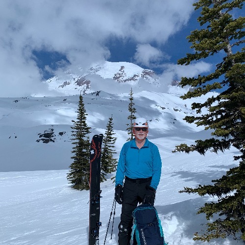
I've had some memorable experiences skiing above the clouds at this time of year (see below), so I keep an eye out for conditions where the cloud tops are not too high. Not that it did me any good this week. I was stuck at home.


Please Log in or Create an account to join the conversation.
- Stugie
-

- User
-

- Posts: 291
- Thank you received: 0
Please Log in or Create an account to join the conversation.
- Andrew Carey
-

- User
-

- Posts: 914
- Thank you received: 0
. But take heart, summer always
arrives in the Northwest by July 12. Have a safe and enjoyable
spring!
Ferber/Northwest Weather and Avalanche Center
$$
Thanks, Mr. Ferber, for having summer start the day before my birthday! I'm pretty disgusted with the current weather, living just outside the Nisqually entrance to MRNP at 2000 ft asl, it has been nothing but rain, fog, and very wet snow here this spring (a couple of days of partly sunny + 2 hot days). But I'm not complaining! I had 2-3 weeks of being able to ski from the front door this winter! And probably more than 25 days of good skiing on ski patrol on the Mt. Tahoma Ski Trails (just 7 miles away).
Please Log in or Create an account to join the conversation.
- Garth_Ferber
-

- User
-

- Posts: 79
- Thank you received: 0
No problem.
"The July 12 thing is an old joke in the Seattle NOAA office. You'll hear it any time we have June weather like this, especially if the July 4 weekend looks bad. I believe there is a climatological basis for it. The jet stream really does adjust to a summer pattern around that time. Garth could probably say more."
Not much more unless I looked into it. I was just using the old NWS joke that is usually attibuted to Bruce Renneke, long time now retired NWS forecaster who is a character. The weather often does finally get good around that time, and I think there is a climotological basis for it. Maybe the northern hemisphere can no longer deny all the solar input...
"Another weather system, similar to that of Friday, is
currently indicated for Monday. This should cause more
unusual, cool and snowy weather."
This ended up being the system that killed the person on the Muir snowfield. We (NWAC) put out another statement for it and I think the NWS also had it generally well forecasted.
The NWAC is having the annual meeting on 19 June and will be done for the season on 20 June.
Please Log in or Create an account to join the conversation.

