Not all who wander are lost... 3.14-16 - MRNP
3/15/08
WA Cascades West Slopes South (Mt Rainier)
3519
3
"...and not all that glitters is gold." At least that was the case for what was shone forth under the glow of Kyle's and my headlamps. Feathery, white flakes, and that was far better than gold.
3.14.08
Friday we got a late start, and after snoozing the alarm by an hour, got our skins ready to go, donned our headlamps and packs, and set up Quicksilver at about 2:30 am. Although a semi-arduous slog, our spirits were kept high by the light consistency of the snow. Upon reaching the pass E of East peak, we dropped and traversed tenatively into the upper reaches of the Placer Lake basin. This side, was obviously affected by the sun, as the layering about 4 inches down was a harder crust. We made our way over Sourdough Gap, quickly transitioned, and then dropped to an undisclosed camp site just in time for the day to start breaking. After readily setting up the tent, we crashed for a few more hours.
3.15.08
After resting for what we told ourselves was 2 hours, we fed ourselves, boiled some water and set off for the first our destinations - Shepard's Chute on Smoka peak. We wanted to get it with powder, and perfect conditions were in place. Once up top, we dropped into about 12 inches of powder over almost boilerplate...we made it work though.
Photo by Kyle Miller

Photo by Stugie

After coming down however, I was feeling extremely ill. I was determined not to let it ruin all of our touring time that day. After heading back to camp to try to re-coup, we set off for our second destination of which we now refer to as the - 1-in-10 Ridge - reason being is that we figured if someone randomly chose a line from the top there was about a one in ten chance that it wouldn't cliff out. So, after skinning halfway up, puking my brains out and started to feel almost normal again, we scouted lines.
Photo by Stugie

We dropped our various lines and using the trusty Motorola's guided each other down our specific lines. Other than a few protected areas amongst the trees, most of the ESE facing slope I was on had a thick 1-3 inch consolidated crust above about 3-4 inches of dry powder. As Kyle cut his E slope and traversed, the slid at 12 inches down, almost pulling him with. It was an amazing day with some andrenaline rushes and high, semi-cloudy skies, but it was time to return to camp. We were determined to get rested as our next day planned was rather large.
3.16.08
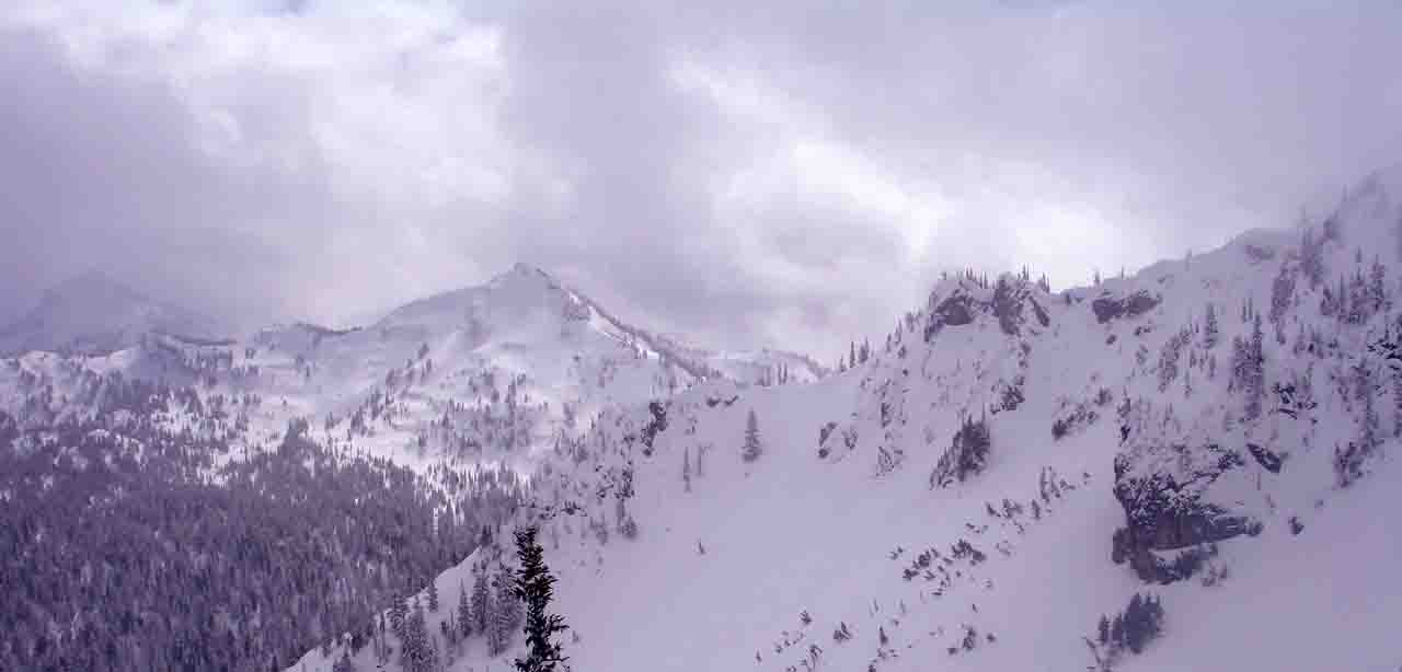
Upon waking up, we opened the tent door hoping to be greeted with bluebird skies. Instead, we were greeted with a dusting of new snow, clouds and flat light. So much so in fact, that we could barely see 50 yards ahead. Hoping for the best and following our duty to stick to plan, we decided to try and see what it would be like at Chinook Pass. Our plan was to summit and ski Naches and Yakima. Upon packing our gear and finding our line to 410, visibilty soon got better down to the hwy. The run was carefully navigated as our heavy packs with a thick and slick 1 inch crust above heavy snow was not optimal. However, 410 came soon enough and we began our slog to Chinook Pass.
Photo by Stugie

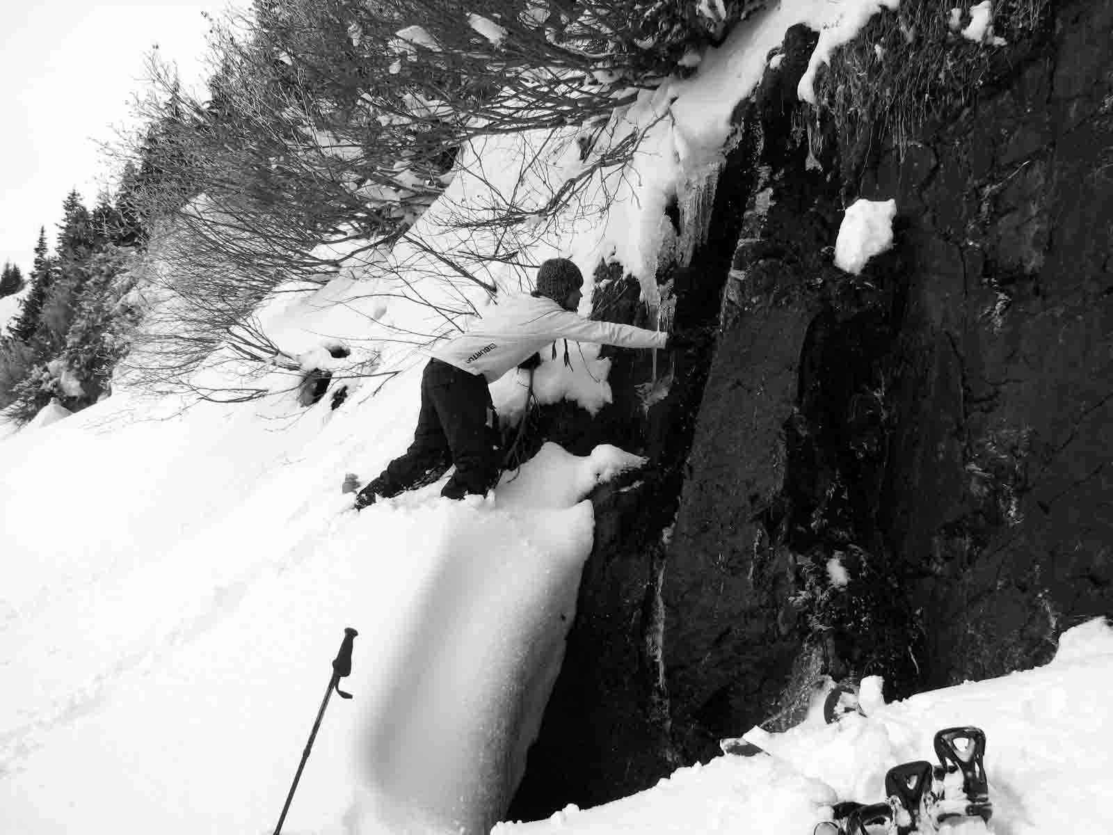
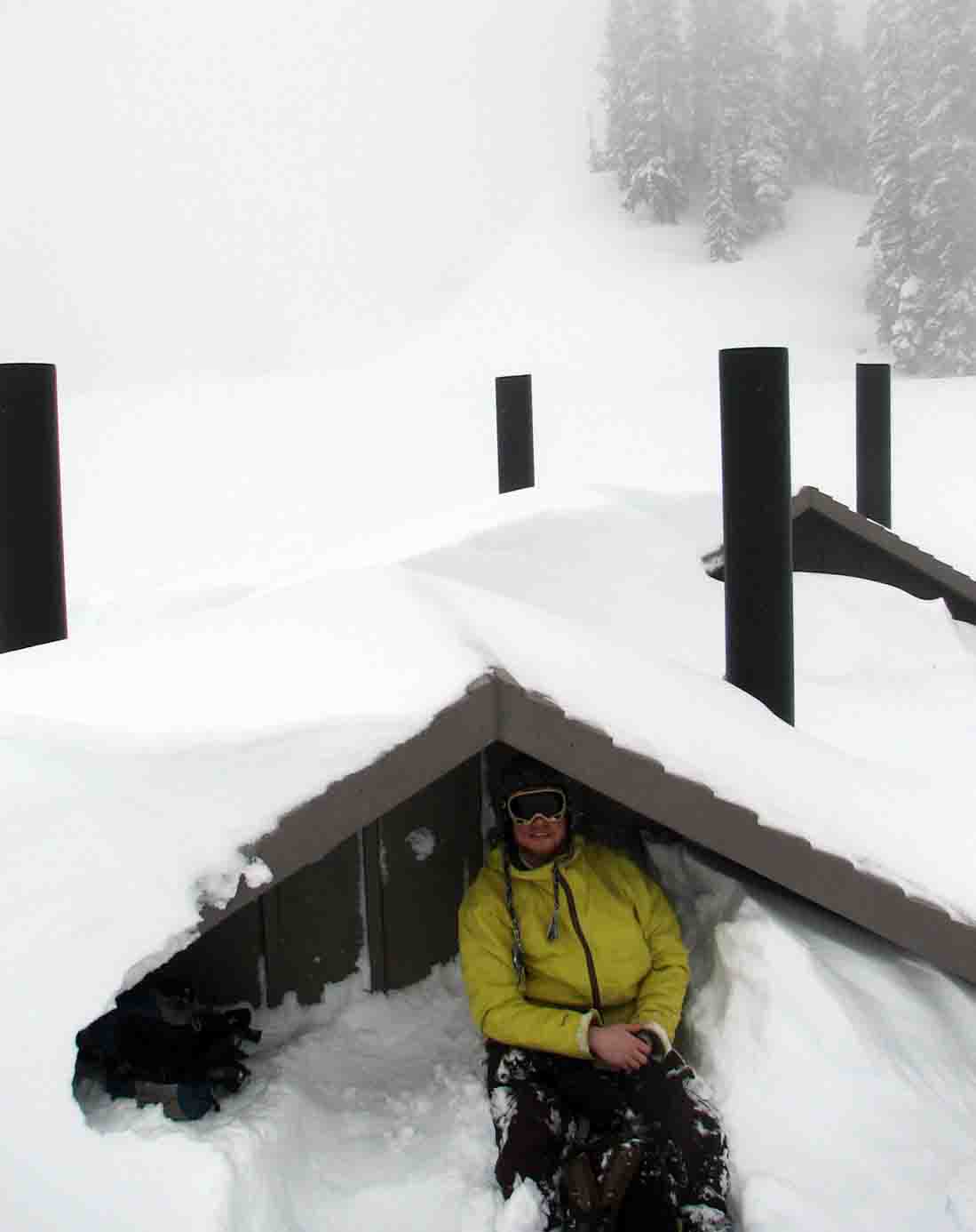
If anyone has skinned the east side of 410, you probably realize what a harrowing and powerful experience it is. As we skinned over massive debris field after debris field of enormous slide paths leading thousands of feet into the valley, our hearts seemed to choke us everytime we had to skin across something that had no signs of having previously released. We rarely stopped and tried to speed through paths into relatively safer areas. At one we were even priviledged with having the water already melted for us. Only when Kyle tossed it down to his board, it sank like a rock in the snow. If you find a nalgene up on the east side of Chinook this summer... Although the clouds dissapated lower, as we gained elevation again, there they sat - flat light and crap visibility at around 5500 feet. The small and occasional clearings seen from 410 seemed like a vauge possibility, therefore we reluctantly concluded that it would be ridiculous to try to hit Naches or Yakima. We made good with the 2 feet of fresh dry powder at Chinook though! We eventually skied off the saddle N of Yakima and decended through relatively good snow and some fun tree skiing down to the western side of Chinook on 410.
Photo by Stugie

Photo by Stugie

From 410, we were able to ski almost the entire way back to the base of Crystal Mt. Blvd, where we hitched a ride up to the car right at dusk. There were some spectacular views on the way down. We officially ended the trip on a McD's note. Although we can definitely sleep well on this, Naches and Yakima are still dreamt about frequently...
3.14.08
Friday we got a late start, and after snoozing the alarm by an hour, got our skins ready to go, donned our headlamps and packs, and set up Quicksilver at about 2:30 am. Although a semi-arduous slog, our spirits were kept high by the light consistency of the snow. Upon reaching the pass E of East peak, we dropped and traversed tenatively into the upper reaches of the Placer Lake basin. This side, was obviously affected by the sun, as the layering about 4 inches down was a harder crust. We made our way over Sourdough Gap, quickly transitioned, and then dropped to an undisclosed camp site just in time for the day to start breaking. After readily setting up the tent, we crashed for a few more hours.
3.15.08
After resting for what we told ourselves was 2 hours, we fed ourselves, boiled some water and set off for the first our destinations - Shepard's Chute on Smoka peak. We wanted to get it with powder, and perfect conditions were in place. Once up top, we dropped into about 12 inches of powder over almost boilerplate...we made it work though.
Photo by Kyle Miller

Photo by Stugie

After coming down however, I was feeling extremely ill. I was determined not to let it ruin all of our touring time that day. After heading back to camp to try to re-coup, we set off for our second destination of which we now refer to as the - 1-in-10 Ridge - reason being is that we figured if someone randomly chose a line from the top there was about a one in ten chance that it wouldn't cliff out. So, after skinning halfway up, puking my brains out and started to feel almost normal again, we scouted lines.
Photo by Stugie

We dropped our various lines and using the trusty Motorola's guided each other down our specific lines. Other than a few protected areas amongst the trees, most of the ESE facing slope I was on had a thick 1-3 inch consolidated crust above about 3-4 inches of dry powder. As Kyle cut his E slope and traversed, the slid at 12 inches down, almost pulling him with. It was an amazing day with some andrenaline rushes and high, semi-cloudy skies, but it was time to return to camp. We were determined to get rested as our next day planned was rather large.
3.16.08
Upon waking up, we opened the tent door hoping to be greeted with bluebird skies. Instead, we were greeted with a dusting of new snow, clouds and flat light. So much so in fact, that we could barely see 50 yards ahead. Hoping for the best and following our duty to stick to plan, we decided to try and see what it would be like at Chinook Pass. Our plan was to summit and ski Naches and Yakima. Upon packing our gear and finding our line to 410, visibilty soon got better down to the hwy. The run was carefully navigated as our heavy packs with a thick and slick 1 inch crust above heavy snow was not optimal. However, 410 came soon enough and we began our slog to Chinook Pass.
Photo by Stugie

If anyone has skinned the east side of 410, you probably realize what a harrowing and powerful experience it is. As we skinned over massive debris field after debris field of enormous slide paths leading thousands of feet into the valley, our hearts seemed to choke us everytime we had to skin across something that had no signs of having previously released. We rarely stopped and tried to speed through paths into relatively safer areas. At one we were even priviledged with having the water already melted for us. Only when Kyle tossed it down to his board, it sank like a rock in the snow. If you find a nalgene up on the east side of Chinook this summer... Although the clouds dissapated lower, as we gained elevation again, there they sat - flat light and crap visibility at around 5500 feet. The small and occasional clearings seen from 410 seemed like a vauge possibility, therefore we reluctantly concluded that it would be ridiculous to try to hit Naches or Yakima. We made good with the 2 feet of fresh dry powder at Chinook though! We eventually skied off the saddle N of Yakima and decended through relatively good snow and some fun tree skiing down to the western side of Chinook on 410.
Photo by Stugie

Photo by Stugie

From 410, we were able to ski almost the entire way back to the base of Crystal Mt. Blvd, where we hitched a ride up to the car right at dusk. There were some spectacular views on the way down. We officially ended the trip on a McD's note. Although we can definitely sleep well on this, Naches and Yakima are still dreamt about frequently...
Mileage stats and that kind of thing...
3.14.08 = 3.5 miles - 2600' gain/1200' drop (approx.)
3.15.08 = 2.0 miles - 1700' gain/1700' drop (approx.)
3.16.08 = 11 miles - 1200' gain/4300' drop (approx.)
3.14.08 = 3.5 miles - 2600' gain/1200' drop (approx.)
3.15.08 = 2.0 miles - 1700' gain/1700' drop (approx.)
3.16.08 = 11 miles - 1200' gain/4300' drop (approx.)
Alternate Tolkein paraphrase: "Not all who vomit are drunk."
;)
Brave move, counting on a hitch to crystal that late in the day, esp. on a Sunday.
;)
Brave move, counting on a hitch to crystal that late in the day, esp. on a Sunday.
I like that paraphrase! Yeah, we did luck out with our ride (Thanks Monica and Jeff!)
Reply to this TR
Please login first: