Feb 6-7, 2010, Cashmere + whiteout = fail
2/6/10
WA Cascades East Slopes Central
2387
3
Becky and I hoped to find the sun by heading east this weekend....didn't quite pan out as we'd hoped.
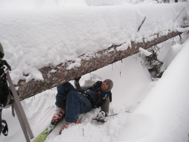
Crack o noon departure from the car got us to camp near treeline SW of Cashmere at sunset. We skied up the gut of Pioneer Creek, though next time we might look for a shortcut that gets us up to treeline sooner as the thick trees and downed timber makes for slow going along the creek. Occational sucker holes mixed with snow flurries during the ski in, clouds finally lifted at dusk and we got our first glimpses of Cashmere. Off and on snow flurries during the night, but in the morning the weather looked good. Skinned up the broad low angle south ridge towards the west summit of Cashmere...we had plans to ski the north side/Doctor Creek. Slopes that had received sun were crusted and made for easy skinning (ski crampons handy), but shaded aspects above 5000ft had some fantastic calf deep powder...it got us really excited about how nice the snow must be up high on the north aspects.
Slowly the clouds off to the west gobbled up Stuart, the Enchantments, and Eightmile Mtn, and with about 500vf to go, our viz went to zero and we couldn't tell up from down. We threw on the puffy jackets and tried the wait out the weather, himming and hawing about whether to push on and try to find the correct north drainage by instruments... but common sense prevailed and we headed back out the way we came, searching for small shaded slopes that still held some powder amongst broad swaths of breakable suncrust.
After the glimpses of Cashmere and Eightmile we got on the trip, we definitely plan to head back...hopefully with some better weather next time.
Nice! We were wondering where you guys ended up. North facing snow in the Alp valley and Chair Peak area is still excellent.
Nice work finally getting in to that area ... too bad about the weather tho. Next time! :)
Oh boy... I have a great image to sum up Pioneer Creek. We skinned up via 8-mile lake a couple of weeks ago, and found ourselves in deep deep powder with amazingly little visibility. I will never ski out Pioneer creek again. However, a friend nicely provided his photos from a lovely clear day high on Cashmere. That chute into the south bowl is really calling my name!
I'm very curious though what the doctor creek descent looks like. It would dump you out with 3 miles of return on the icicle road, which I really really hope is downhill!
The views you were looking for:
http://i4.photobucket.com/albums/y138/luckyana/cashmere027.jpg
http://s4.photobucket.com/albums/y138/luckyana/?start=100
Reply to this TR
Please login first: